If you are looking for recreational land in Wilkinson County, one tract can look a lot like the next on a map until you dig into the details. Access, terrain, drainage, and long-term flexibility can change how a property actually works for hunting, trail riding, a camp, or future timber management. This guide will help you compare tracts more clearly so you can make a smarter decision with fewer surprises at closing. Let’s dive in.
Why Wilkinson County Draws Land Buyers
Wilkinson County offers the kind of setting many recreational buyers want: large stretches of land, a strong forestry base, and easy access to outdoor recreation. According to the county context in the research, the area is lightly populated, with 8,587 people across 678.11 square miles of land. That land-heavy character is part of what makes the county appealing for private recreational use.
The local landscape also supports a strong outdoor culture. The Homochitto National Forest extends into Wilkinson County and offers deer, turkey, and small-game hunting, along with fishing, camping, hiking, and biking. Near Woodville, Clark Creek Natural Area adds another recreation draw with more than 700 acres and about 50 waterfalls, though hunting and motorized vehicles are not allowed there.
Forestry is also a major part of the local economy and land base. Mississippi State University Extension reports that forestry and forest products generated 418 jobs and nearly $20.84 million in income in Wilkinson County using 2022 data, and the county has 393,648 acres of forestland, much of it privately owned. That matters because many recreational tracts here are not just weekend properties. They may also offer timber value and long-term management potential.
Start With Legal Access
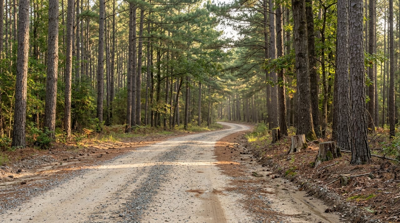
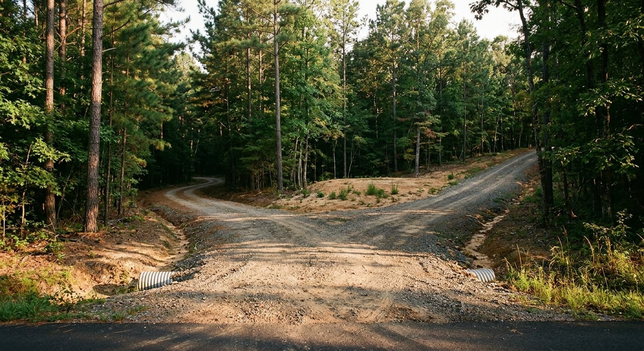
A beautiful tract is much less useful if access is uncertain. In Wilkinson County, road quality can vary quite a bit because county routes may be paved, gravel, or unimproved, according to the county highway mapping and local government resources. That means you need to look beyond the aerial view and confirm how the tract is actually reached.
Deeded access should be one of the first things you verify. The county tax assessor maintains ownership maps and a parcel viewer, and the chancery clerk records deeds, mortgages, liens, and other real-property records. Those resources can help you confirm boundaries, easements, and whether the road serving the property is legally usable year-round.
This step matters even more on land that feels remote or lightly improved. A road that appears usable during dry weather may raise questions in wet conditions or from a legal title standpoint. Before you compare price per acre, make sure you understand whether access is recorded, practical, and dependable.
Driving Access and Hunting Access Are Different
Buyers sometimes assume that if they can drive to a tract, they can use it however they want once they arrive. That is not always the case. The Mississippi Department of Wildlife, Fisheries, and Parks hunting rules make clear that landowner permission is required on another person’s land and that hunting from roads, vehicles, boats, or rights-of-way is restricted or prohibited under the rules.
That is especially important when you are evaluating a property for hunting use. You want to know not just how you enter the tract, but how you will move through it safely and legally once you own it. A parcel that looks simple on a map may have limitations that affect stand placement, trail planning, or how guests access the property.
Compare Road Frontage and Internal Layout
Not all acreage is equally usable. Two tracts with the same number of acres can function very differently depending on frontage, shape, and how the land lays out from the road inward.
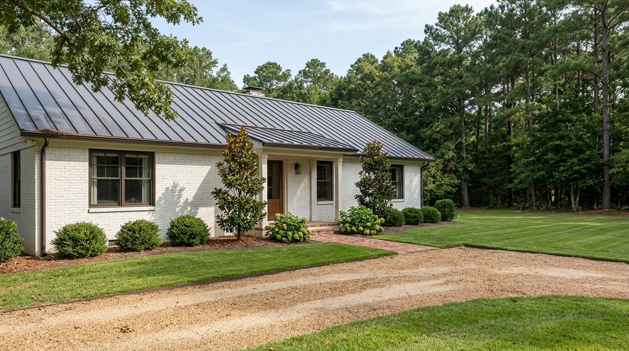
A tract with solid road frontage and a practical interior footprint is often easier to use and improve. It can give you better options for a camp, food plots, trail systems, parking areas, and future timber work. In a county where road conditions and terrain vary, a clean layout can save time, money, and frustration.
Long, narrow tracts may still work well for some buyers, but they can create tradeoffs. They may limit homesite options, make internal access more complicated, or reduce flexibility for habitat work. A more balanced shape can be easier to manage over time, especially if you want the property to serve more than one purpose.
Look for a Natural High Point
Topography matters in Wilkinson County. Local sources describe Woodville as being in the rolling hills near the Louisiana border, and the county map shows rivers, creeks, overflow land, marsh or swamp land, and levee or dike features. The county map makes it clear that one tract may be very different from another in terms of drainage and wet-weather usability.
That is why a natural high point can be so valuable. If you are thinking about a cabin, camp, or future homesite, higher ground may offer a better starting point for access and site planning. It can also help with road placement, visibility, and the day-to-day usability of the property after rain.
Study Drainage Before You Buy
Drainage is one of the biggest factors in how a recreational tract performs throughout the year. The county includes areas near the Mississippi River, the Homochitto River, and multiple creeks, along with overflow and marshland features shown on official mapping. Some properties may stay usable in wet weather, while others can change quickly after heavy rain.
This does not automatically make lower or wetter land a poor choice. It simply means you need to match the tract to your goals. If your priority is easy year-round access and a future camp, drainage may be a top concern. If your goals center more on seasonal recreation and habitat, you may weigh those conditions differently.
Check Flood Information Early
If a tract could support a house, cabin, or camp, flood review should happen early in your process. Wilkinson County has a flood plain coordinator, and FEMA identifies the Flood Map Service Center as the official public source for flood hazard information and current flood maps through the county’s local resource page.
This is one of the easiest due diligence steps to overlook when you are focused on acreage and access. Yet it can affect building plans, insurance questions, and long-term usability. A tract does not have to be fully in a flood-prone area for flood exposure to matter, especially if your best homesite or access point is affected.
Think Beyond Today’s Recreation Use
The best recreational tract for you may also be the one that gives you options later. In Wilkinson County, that often means looking at both wildlife value and timber flexibility. With such a large forestland base and a strong forestry economy, many buyers want land they can enjoy now while also improving over time.
The Mississippi State University Extension forestry report shows how important forestry remains in the county. That local reality makes future management potential part of the value conversation for many tracts. Even if you are buying for recreation first, it is worth asking whether the land’s shape, access, and conditions support future stand improvement or reforestation work.
When a Consulting Forester Can Help
If you are evaluating a tract with meaningful timber or long-term management goals, a consulting forester can be a smart resource. Mississippi State University Extension says landowners with more than 40 acres, and those with high-value timber on smaller 20 to 40 acre tracts, should consider one. Their guidance notes that foresters can assist with inventories, management plans, timber sales, road and skid-trail planning, regeneration, planting, prescribed burning, and wildlife habitat improvement.
You can read more in Extension’s guide on choosing a consulting forester. For a recreational buyer, that kind of expertise can help clarify whether a tract is simply attractive today or truly versatile over the long run.
Consider Reforestation Incentives
Some buyers also look at whether a tract could support future reforestation or stand improvement. Mississippi State Extension notes that qualifying Mississippi landowners who pay state income tax may claim a reforestation tax credit of up to $10,000 per year for qualified expenses on Mississippi land, in addition to federal incentives. You can review those details through Extension’s forestry taxation resource.
This will not apply to every buyer or every property. Still, it can be part of the long-term picture if you are comparing one tract that offers little management flexibility against another that may support future improvement work.
Use the Broader Recreation Network as a Benchmark
Private land does not exist in a vacuum. Part of choosing the right tract in Wilkinson County is understanding how it fits into the broader outdoor setting around Centreville, Woodville, and the surrounding area.
The Homochitto National Forest is a useful benchmark because it reflects the region’s mix of wildlife habitat, mixed pine-hardwood forest, and active recreation. Clark Creek Natural Area offers a different benchmark, focusing on hiking and natural scenery rather than hunting. Those public-land references can help you think through what you want your private tract to do that public recreation areas do not.
For some buyers, that means privacy and exclusive hunting access. For others, it means a camp location close to public recreation while still offering room to spread out. The right answer depends on your goals, but the comparison helps sharpen what matters most.
A Simple Checklist for Comparing Tracts
When you are narrowing down recreational land in Wilkinson County, focus on these questions:
- Does the tract have deeded, recorded access?
- What is the condition of the road: paved, gravel, or unimproved?
- How much usable road frontage does it have?
- Is the tract shape practical for trails, food plots, and a camp?
- Where are the high points and low areas?
- How does the property handle drainage in wet weather?
- Should you review flood information before closing?
- Does the tract have flexibility for timber or habitat work later?
- Would a consulting forester help evaluate long-term potential?
- How does the tract compare with the broader recreation options nearby?
The right tract is not always the one with the most acres or the lowest price per acre. It is the one that fits your goals, holds up under due diligence, and gives you confidence about how you will use it now and in the future.
If you are weighing recreational land in Wilkinson County, working with a team that understands land, timber, and rural property tradeoffs can make the process much clearer. The specialists at Stedman Ulmer Properties can help you evaluate access, layout, long-term potential, and the details that matter before you move forward.
FAQs
What should you verify first when buying recreational land in Wilkinson County?
- Start with deeded access, recorded easements, boundary information, and title records so you know the tract is legally and practically usable.
Why does road frontage matter on a Wilkinson County recreational tract?
- Road frontage can affect entry, future improvements, interior access, and how easily you use the land for hunting, trails, or a camp.
How do flood maps affect a recreational land purchase in Wilkinson County?
- Flood maps can help you evaluate building risk, access concerns, and whether a future house, cabin, or camp site may face restrictions or added costs.
Should you consider timber potential when buying recreational land in Wilkinson County?
- Yes. In a county with a strong forestry footprint, timber and habitat potential can add long-term flexibility and may influence how you manage the property later.
When should you hire a consulting forester for Wilkinson County land?
- It can make sense when a tract has meaningful timber value, future management potential, or enough acreage that you want expert input on long-term use and improvement options.